
Walk a Tigard Street Directory
A useful Tigard street-by-street search begins with a precise location, not a name. The official WashcoTax Property Search accepts an address, tax-lot ID, or R number and returns a parcel record. That record supplies the situs address, legal description, map number, assessment owner and mailing address, value and improvement information, plus sales history. The listing identifies a Tigard assessment and property record. It does not establish every person who may be at the address. Keep the legal description and instrument number because they carry the search through older documents when a street label is incomplete or changes.
- Enter the full Tigard address, tax lot, or R number in WashcoTax. Save the situs address, legal description, map number, sales date, buyer, seller, and instrument number from the Tigard property detail.
- Open the same location in TigardMaps or Washington County InterMap to check the parcel’s map setting, street segment, and municipal layers.
- Take the sale information and legal description to the Washington County Recording Office. The instrument connects a current parcel result to its recorded transaction.
- Use Oregon My Vote only for its individual self-service purpose. A formal voter-list request has statutory rules and protected-address limits, so it is not a Tigard by-street browsing step.
- For an older household clue, ask the Tigard Public Library Local History Room which directory or newspaper source fits the period, then compare that clue with the parcel and deed trail.
The sequence separates three different questions: where the Tigard parcel is, who appears in a Tigard ownership transaction, and whether a dated historical source places a Tigard household there. That distinction makes a Tigard by-street search more reliable than a loose collection of names. Note: Save the tax lot and legal description before leaving a result because those identifiers are more stable than a street address alone.
Tigard Street Directory Parcel Clues
WashcoTax is the strongest verified first stop for a Tigard address. Its Property Search has one text field with autocomplete, shows the first ten matches, and offers a See All Results choice. A selected Tigard property supplies the physical situs, tax-lot or R number, legal description, map number, neighborhood and land-size context. It also shows the current assessment owner and mailing address, value and tax data, improvements, and a sales-history group. Tigard sales history can show a date, seller, buyer, instrument number, price, and instrument type. Read those as property and transaction facts, not as a current resident list.
The official WashcoTax search surface is shown below. It is the address-first entry point for a Tigard by-street search.
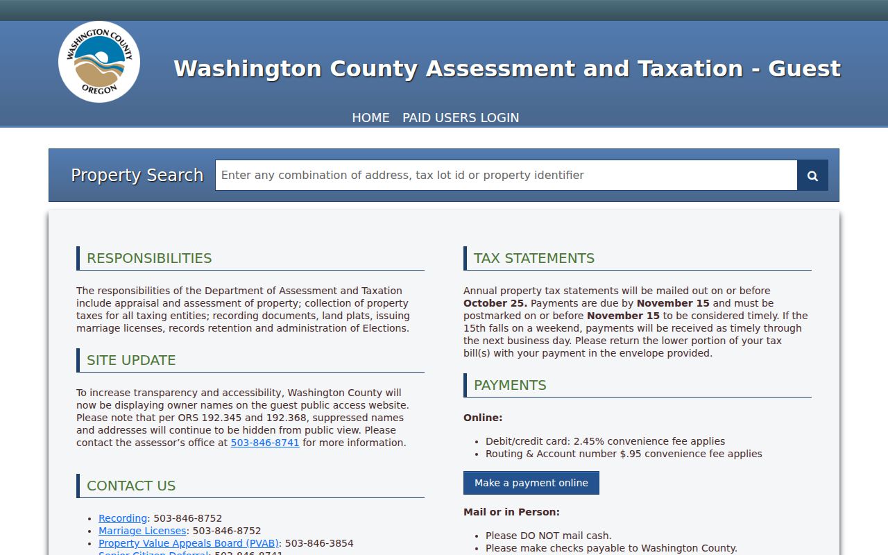
Autocomplete can narrow a Tigard address or property identifier, but the returned parcel still needs a separate recorder or historical source when the question concerns an earlier owner or household.
Washington County also provides a data-request form for Tigard assessment extracts when ordinary viewing is not enough. The documented form asks for the requested data, intended use, output fields, delivery method, and selected extract groups. It identifies a prepaid $174 fee. That is a county data product, not a substitute for reading the Tigard parcel record in context.
Tigard Address Search Fields
The Tigard property search is deliberately broad enough to start from an address or a parcel identifier. Its result fields explain why a Tigard address query should lead to a record trail rather than an assumption about a household. The legal description, map number, and sales instrument are especially useful when a Tigard street-by-street question becomes a document question at the Recording Office.
| WashcoTax field | Input or result | How it works | Tigard address-research value |
|---|---|---|---|
| Property Search | Text with autocomplete | A query is required; address, tax-lot ID, R number, or combinations are accepted. | Starts a Tigard street directory search from a known place. |
| Autocomplete results | Selectable list | The first ten Tigard matches appear, with See All Results available. | Helps separate similar Tigard address matches. |
| Situs Address | Result field | The property’s physical location. | Anchors the street and parcel. |
| Current Owner and Mailing Address | Result fields | Assessment owner or taxpayer contact may differ from the situs. | Shows assessment information, not proof of present occupancy. |
| Legal Description and Map Number | Result fields | Stable Tigard parcel identifiers and map context. | Bridges a Tigard street address to recorder and survey research. |
| Sales History | Result group | Includes sale date, seller, buyer, instrument number, price, and instrument type. | Supplies a lead for a recorded deed or other instrument. |
A Tigard by-street search can begin with the street address, but it should end with the identifiers in the record. If a displayed owner is a trust, estate, business, or remote taxpayer, the entry still describes the Tigard assessment account. It does not answer who is physically present at a particular time.
Tigard Street Maps and Tax Lots
Washington County InterMap is the county’s assessment and tax-lot research application, while Tigard’s advanced map is the city-side locator. The advanced map offers Address, Unit Number, Common Places, Tigard Intersection, Tigard Street, and Tigard Area Tax Lot modes. Its Tigard layers include parcels and cadastral references, city and neighborhood boundaries, zoning and comprehensive-plan material, plats, annexations, historic overlay, flood data, and permit or code-compliance context. Use a Tigard map to locate the parcel and its setting, then return to WashcoTax and Recording for the property and instrument evidence.
The Tigard public map viewer provides the municipal-layer view shown here. It helps place a Tigard address result on the correct tax lot.
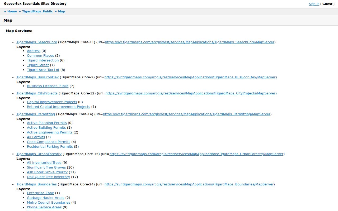
A visible Tigard parcel boundary or map label is geographic context. It is not evidence that every person associated with a Tigard address is a current resident.
- Parcel
- A mapped unit used in Tigard property assessment and land records. It helps find the property record, but it is not a list of people.
- Situs address
- The physical location of Tigard land or improvements. It can differ from the mailing address attached to an assessment account.
- Plat
- A recorded map showing Tigard subdivision or lot layout. Plats can help reconcile a lot or block with an address.
- Criss-cross directory
- An address-arranged directory, if a collection holds one, used as a dated historical lead rather than as proof of current presence.
Tigard Street Directory Permit Evidence
Permit and code layers can add a date and project context to a Tigard address. Tigard’s public active-permits service can display Case ID, open date, case status and type, applicant, description, address, tax-lot ID, valuation, issue date, use type, work class, portal link, and latest status. The Tigard service is current or active and has a maximum record count of 2,000. A missing result does not show that a property never had work, and an applicant is a project contact rather than a household roster.
The Tigard permit and code search entry screen appears below. For newer City work, the Community Development Hub is the City’s stated replacement direction for older Accela-based flows.
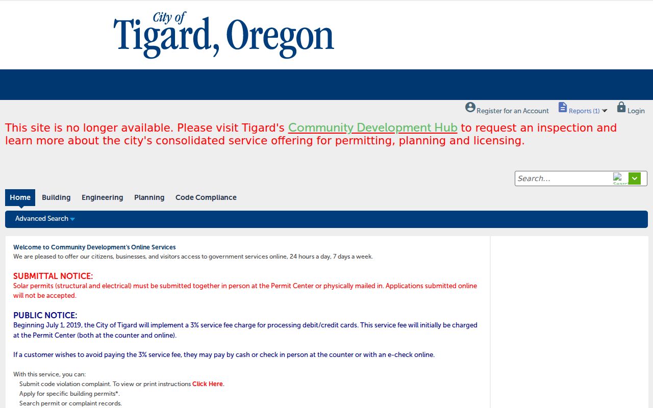
Tigard permit research can explain when a project was opened or issued, but it should be paired with a parcel, recorded instrument, or dated historical source before drawing an address-history conclusion.
Washington County warned in April 2026 that public Tigard project information can be used in fake approved-permit payment emails. Use a saved official portal or bookmarked county page, not a payment link that arrives unexpectedly by email.
Tigard Street Deeds at Recording
The Washington County Recording Office records deeds, mortgages, contracts, tax liens, marriages, and domestic-partnership filings. For a Tigard address trail, the key handoff is the instrument number from WashcoTax sales history plus the legal description. The office’s customer-service lobby has computers for no-charge document viewing. A copy can also be requested by phone or email, with prepayment for those requests. Self-printed copies cost 50 cents per page; staff-made copies cost $4 for the first page and 25 cents for each additional page, with $3.75 added for certification.
The Tigard research route changes with the record’s age. County inventory material identifies searchable images and indexing from 1979 to the present on Suite 130 public-research computers. For older material, direct and indirect deed indexes run from 1850 through 1977 and deed books reach 1847 in the documented archival channels. A modern Tigard property map is therefore the first link, not the entire chain. Note: Give the office the legal description and instrument number whenever possible because a street address alone may not identify the right recorded document.
Keep a Tigard Street Record Stable
Tigard address text is useful for finding a place, but the underlying land identifiers preserve continuity. Survey Explorer offers searches by survey number, benchmark ID, county-road number, surveyor, client, city, business, filed or surveyed date, and town, range, section, or quarter. It connects a Tigard tax lot to plats, surveys, public-land corners, section maps, and road or dedication work. The County Surveyor can assist with the geographic route when a legal description needs interpretation.
Washington County cartography cautions that a tax lot can be code split across city, unincorporated, or taxing-district boundaries and may not be one legal lot of record. That local quirk is why a Tigard by-street search should preserve the Tigard tax-lot or map number, legal description, instrument number, and any relevant plat or survey reference together.
No reviewed authoritative source supplied a Tigard street-renumbering or systematic address-realignment year. Avoid translating an old Tigard street label into a current one by guesswork. Check Tigard historical maps, plats, and the legal description instead.
Tigard Address Records by Street
A full Tigard street-record search combines records that answer different parts of the question. The Tigard property viewer identifies the assessment parcel. Tigard recorder material documents a transaction. Survey and map records explain a Tigard physical or legal location. City permit layers date a Tigard project. Library sources can offer a dated local lead. None of these sources becomes a complete household roster merely because the same address appears in each one.
| Address record | Custodian | What it contributes | Access route and limit |
|---|---|---|---|
| WashcoTax parcel detail | Washington County Assessment & Taxation | Tigard parcel identity, assessment owner or mailing information, and sales-instrument lead. | Tigard address, tax lot, or R-number search; not proof of all people at the property. |
| Recorded instrument | Washington County Recording Office | Tigard deeds, mortgages, liens, parties, and legal description. | Suite 130, copy request, and historic microfilm; a deed is an ownership transaction. |
| Survey or plat | County Surveyor | Tigard legal location, roads, boundaries, and lot continuity. | Survey Explorer and survey-office route; geographic record, not people data. |
| City GIS and active permits | City of Tigard | Tigard address, tax-lot, map, and active-project context. | Public map and City records channels; active layer is not a full history. |
| Library directories and newspapers | Tigard Public Library | Dated Tigard name, address, business, obituary, or community clues. | Local History Room and microfilm; exact reverse-directory holdings require confirmation. |
| Official voter records | Oregon and Washington County Elections | Regulated election-administration data. | Formal request rules apply; not a street-browsing tool. |
For a Tigard correction, missing image, or record that is not online, direct the question to the custodian. A written request under the Oregon Public Records Law may be appropriate for an agency-held record, subject to exemptions and permitted actual-cost fees.
Tigard Street History Clues
The Tigard Public Library Local History Room is a non-circulating collection for Tigard and nearby Washington County history from 1850 to the present. It identifies Tigard directories, business histories, maps and atlases, photographs, scrapbooks, biographies, and Tigard High School yearbooks. Its obituary index covers the Tigard Sentinel and Tigard Times from 1924 to 2007, while the newspaper microfilm runs from 1924 to 2014. A Tigard name and address found there can support an earlier household question, but it needs comparison with a deed, parcel, census, or other independent record.
The library confirms that Tigard directory material exists, but it does not publish the exact titles, publisher years, or whether each volume is alphabetical or address arranged. Ask a Local History Room librarian for the relevant Tigard volume and its arrangement before planning a multiyear search. The collection details are available through the Tigard city directories resource.
Oregon My Vote Is Not a Tigard Street Directory
Oregon My Vote lets a person check or update that person’s own registration, check ballot status, find election offices and officials, and locate drop sites. The documented entry process uses a name, date of birth, and CAPTCHA. It is not a name-only public directory and does not offer a Tigard street search. Washington County Elections administers Tigard voter-registration records, but Tigard does not keep a separate city voter roll.
Oregon separates My Vote from an official voter-list request. Public-list fields and exceptions are governed by ORS 247.945 through .973, protected Tigard addresses and Address Confidentiality Program information are excluded, and ballot choices remain secret. ORS 247.955 prohibits commercial use of elector-list information. For a Tigard address question, this boundary matters: do not turn civic records into a street-by-street list of people.
Limits of Tigard Address Records
Tigard address records can show a parcel, an assessment owner, a mailing address when the tax record displays one, a deed party, or a project contact. They cannot verify every current household member or day-to-day presence. Tigard map layers are not ownership proof, a deed is not an occupancy record, and a historical directory or obituary is a dated lead rather than proof of current status. Protected election information and Oregon Department of Justice Address Confidentiality Program records are also outside an open Tigard street search.
Lawful use. Tigard street and address records support personal research, family history, property questions, and civic transparency. Do not use a record to stalk, harass, intimidate, or harm another person.
When a Tigard question concerns an agency record that is not visible online, use the agency’s ordinary records channel or a focused Oregon Public Records Law request. Ask for the record itself, identify the Tigard address and date range, and expect lawful redactions where privacy or safety rules apply.